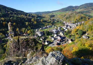
3 km | 5,3 km-effort
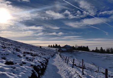
Col des bagenelles / neige
juliengsell
Gebruiker
Lengte
1,4 km
Max. hoogte
990 m
Positief hoogteverschil
76 m
Km-Effort
2,4 km
Min. hoogte
891 m
Negatief hoogteverschil
74 m
Boucle
Ja
Datum van aanmaak :
2023-01-29 13:51:44.0
Laatste wijziging :
2023-01-29 14:30:22.617
38m
Moeilijkheid : Gemakkelijk
Gratisgps-wandelapplicatie
Over ons
Tocht Stappen van 1,4 km beschikbaar op Grand Est, Haut-Rhin, Le Bonhomme. Deze tocht wordt voorgesteld door juliengsell.
Plaatsbepaling
Land:
France
Regio :
Grand Est
Departement/Provincie :
Haut-Rhin
Gemeente :
Le Bonhomme
Locatie:
Unknown
Vertrek:(Dec)
Vertrek:(UTM)
359815 ; 5339414 (32U) N.
Opmerkingen
Wandeltochten in de omgeving
Le Bonhomme - Circuit du village
Stappen
Gemakkelijk
(1)
Le Bonhomme,
Grand Est,
Haut-Rhin,
France
1h 30min
Ja
2021-02-14 Marche Bagenelles Brezouard Fuste de Etoile
Stappen
Zeer moeilijk
Sainte-Marie-aux-Mines,
Grand Est,
Haut-Rhin,
France
17,1 km | 27 km-effort
6h 6min
Ja
2020-07-19 Marche Étang du Devin Col Calvaire Tête des Faux
Stappen
Heel gemakkelijk
Lapoutroie,
Grand Est,
Haut-Rhin,
France
14,2 km | 22 km-effort
3h 27min
Ja
20130508
Stappen
Heel gemakkelijk
(1)
Ban-de-Laveline,
Grand Est,
Vogezen,
France
7,6 km | 11,1 km-effort
2h 19min
Ja
2024-07-24_18h02m57_230112363
Stappen
Moeilijk
Lapoutroie,
Grand Est,
Haut-Rhin,
France
10,3 km | 17,2 km-effort
3h 54min
Ja
CVL - Rando 25/03/2024 - Col de Chamont
Stappen
Medium
Fréland,
Grand Est,
Haut-Rhin,
France
6,6 km | 9,5 km-effort
2h 15min
Ja
Le Haïcot - Le Petit Brézouard - Le Haïcot
Te voet
Gemakkelijk
(2)
Sainte-Marie-aux-Mines,
Grand Est,
Haut-Rhin,
France
7,1 km | 10,5 km-effort
2h 23min
Ja
rdpr G3 le bonhomme 230905
Stappen
Moeilijk
Lapoutroie,
Grand Est,
Haut-Rhin,
France
11,6 km | 16,5 km-effort
4h 12min
Ja
Le Bonhomme-le Brézouard
Stappen
Medium
Le Bonhomme,
Grand Est,
Haut-Rhin,
France
15 km | 26 km-effort
4h 34min
Ja